
 EN
EN
 ar
ar bg
bg hr
hr cs
cs da
da nl
nl fi
fi fr
fr de
de el
el hi
hi it
it ko
ko no
no pl
pl pt
pt ro
ro ru
ru es
es sv
sv tl
tl iw
iw id
id lv
lv lt
lt sr
sr sk
sk sl
sl uk
uk vi
vi et
et hu
hu th
th tr
tr fa
fa ms
ms hy
hy ka
ka ur
ur bn
bn mn
mn ta
ta kk
kk uz
uz ku
ku
Integrated GNSS
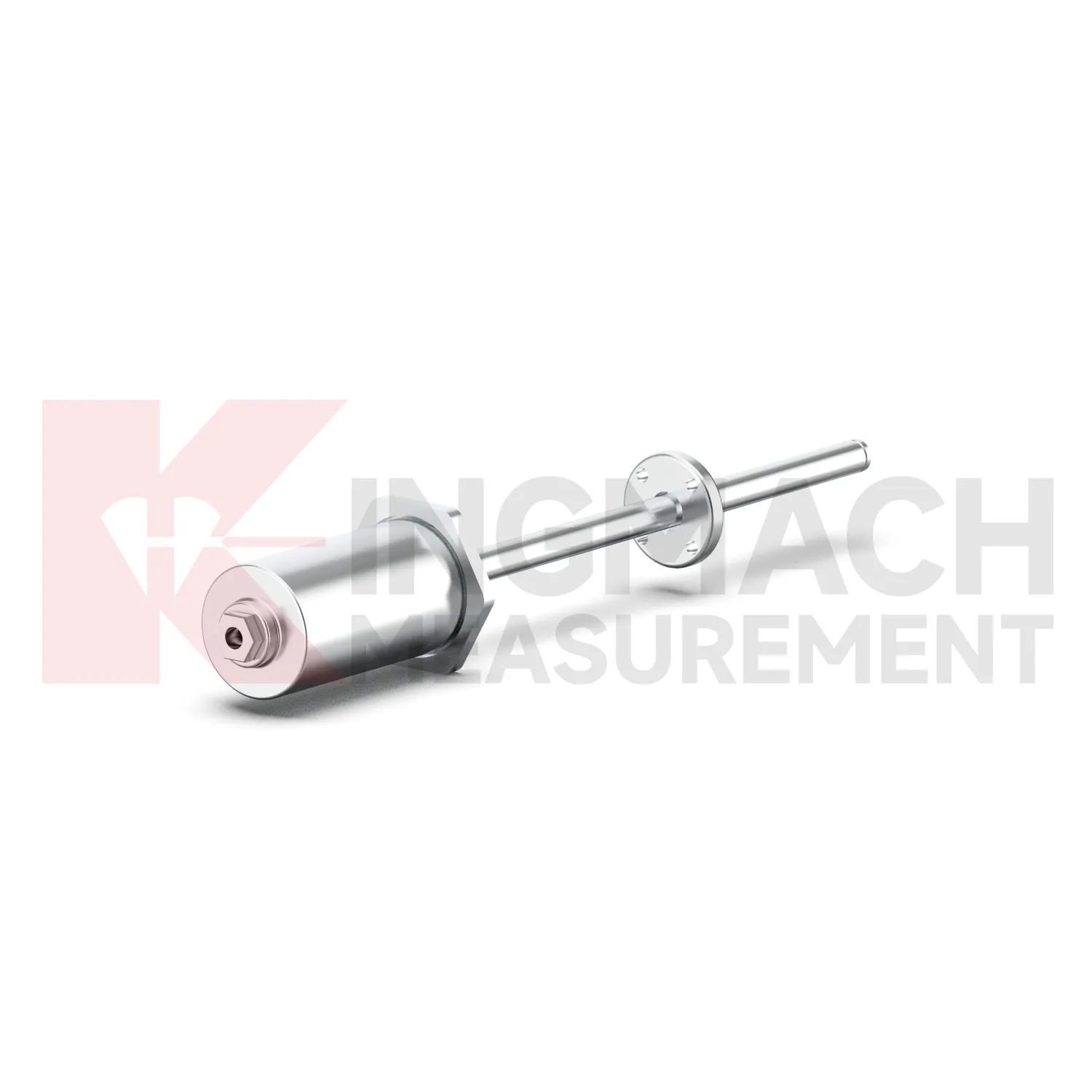
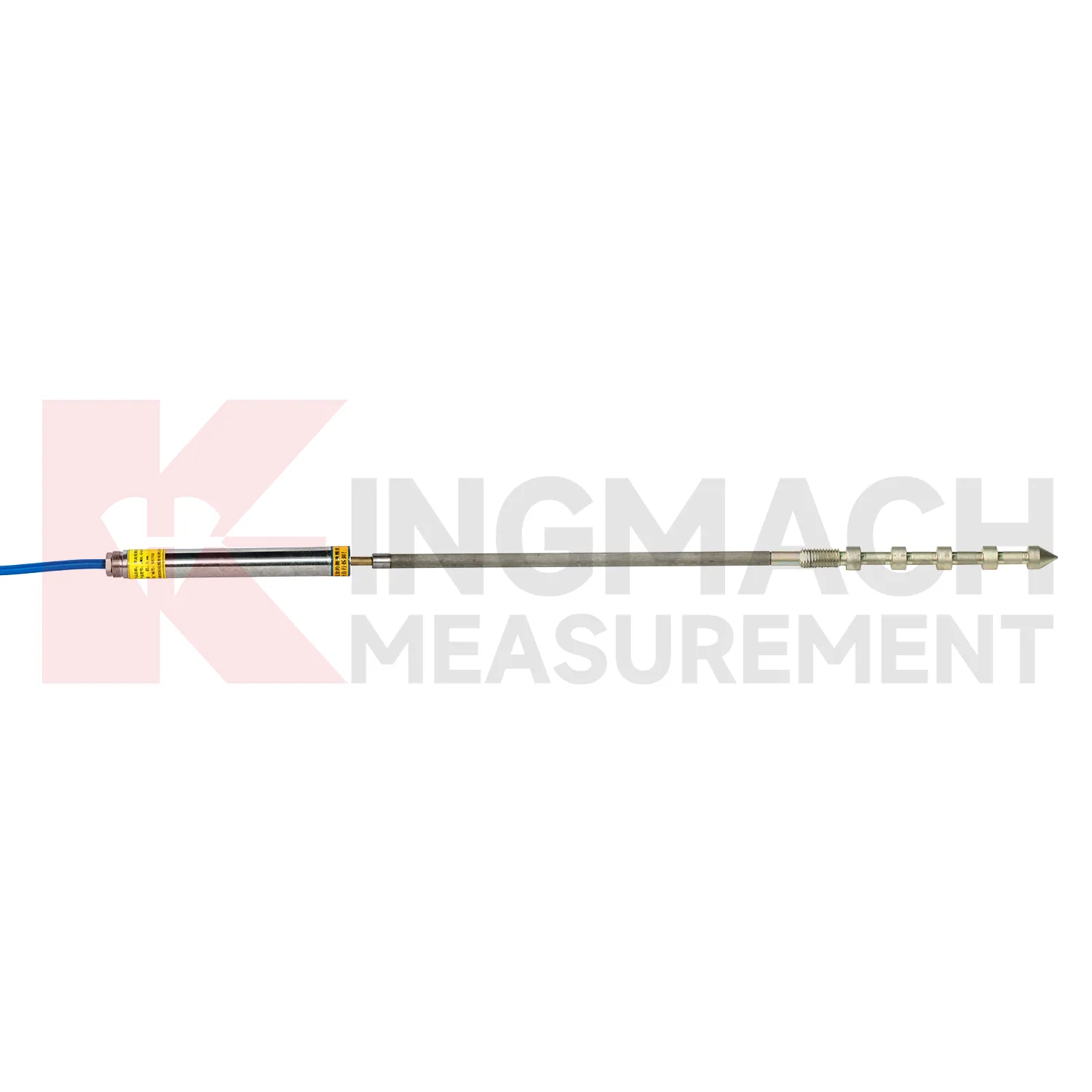
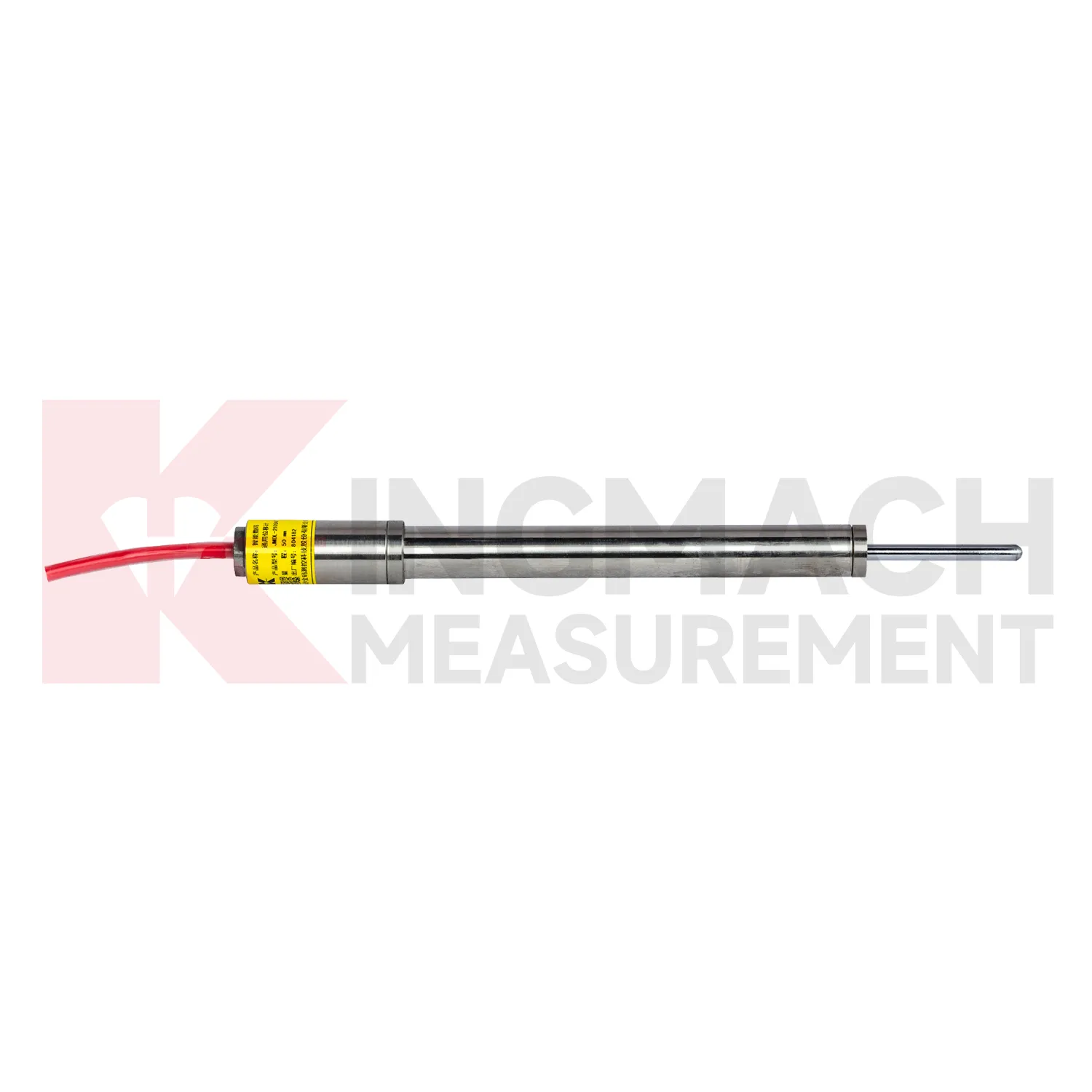
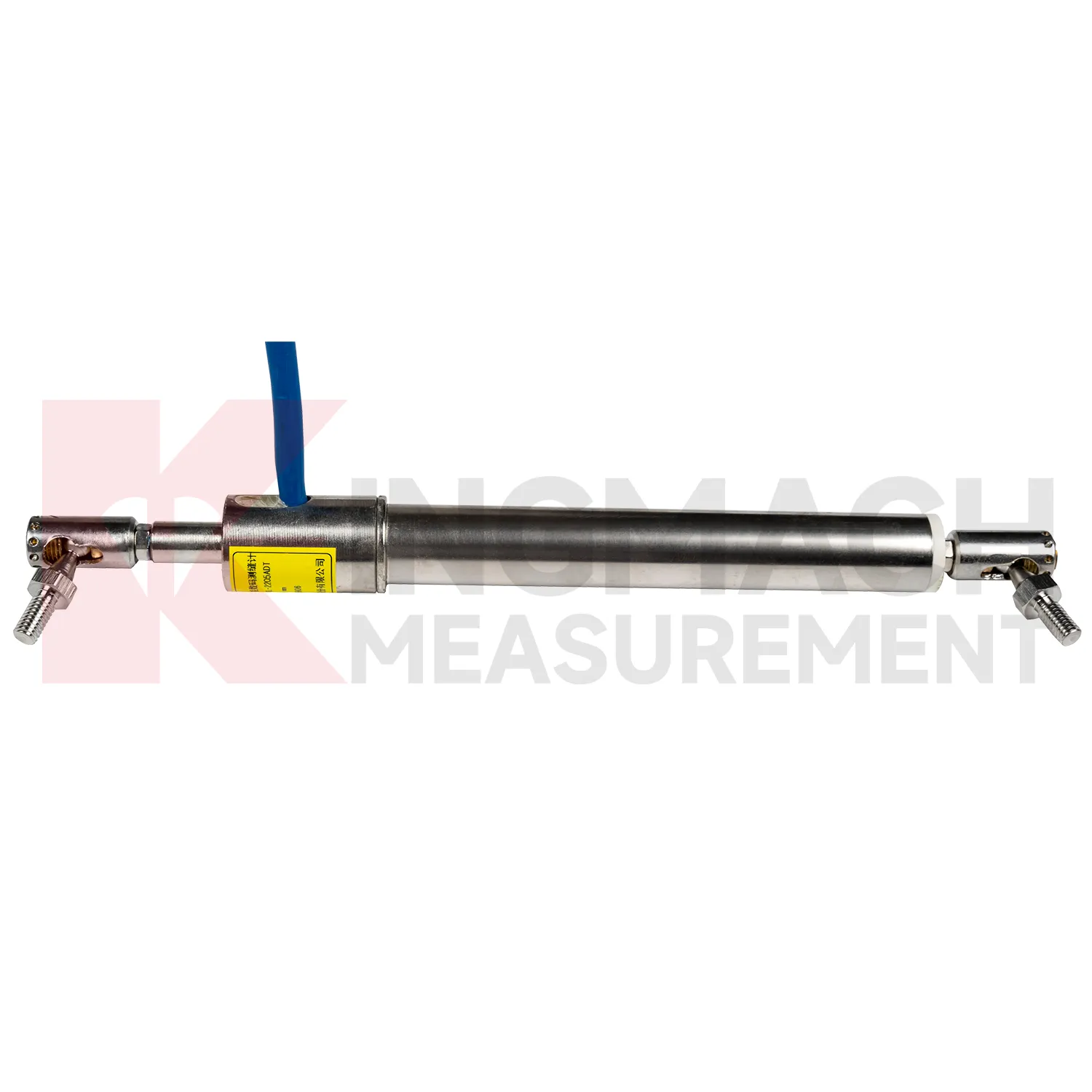
The JMDL-32XXAT Smart Single-Point Bedrock Displacement Meter extends Kingmach Integrated GNSS into embedded rock and foundation monitoring. It is designed for tunnel rock mass deformation, dam bedrock deformation, slope sliding, and foundation pit face movement. The assembly includes a flange, electrical displacement sensor, tie rod, anchor head, and PVC pipe, forming a practical embedded instrument for single-depth displacement. Listed models include 50 mm, 100 mm, and 200 mm ranges, each with 0.01 mm resolution. Product information lists displacement accuracy of 0.5%FS, temperature accuracy of plus or minus 0.5 degrees Celsius, and an operating temperature range from -30 degrees Celsius to +80 degrees Celsius. This product is useful where the monitoring point needs to be anchored into a known layer rather than mounted only on a visible surface. In tunnels, dams, slopes, and deep excavations, that embedded layout helps link surface observations with movement inside the rock or foundation body. During project setup, the measuring point should be matched with the expected travel direction, available mounting space, cable route, and required acquisition interval. This prevents a short-range joint instrument from being used on a long-travel point, or an exposed sensor from being placed where an embedded anchor is needed. It also helps the monitoring team set a baseline that can be defended during acceptance and later maintenance review.
Application of Integrated GNSS
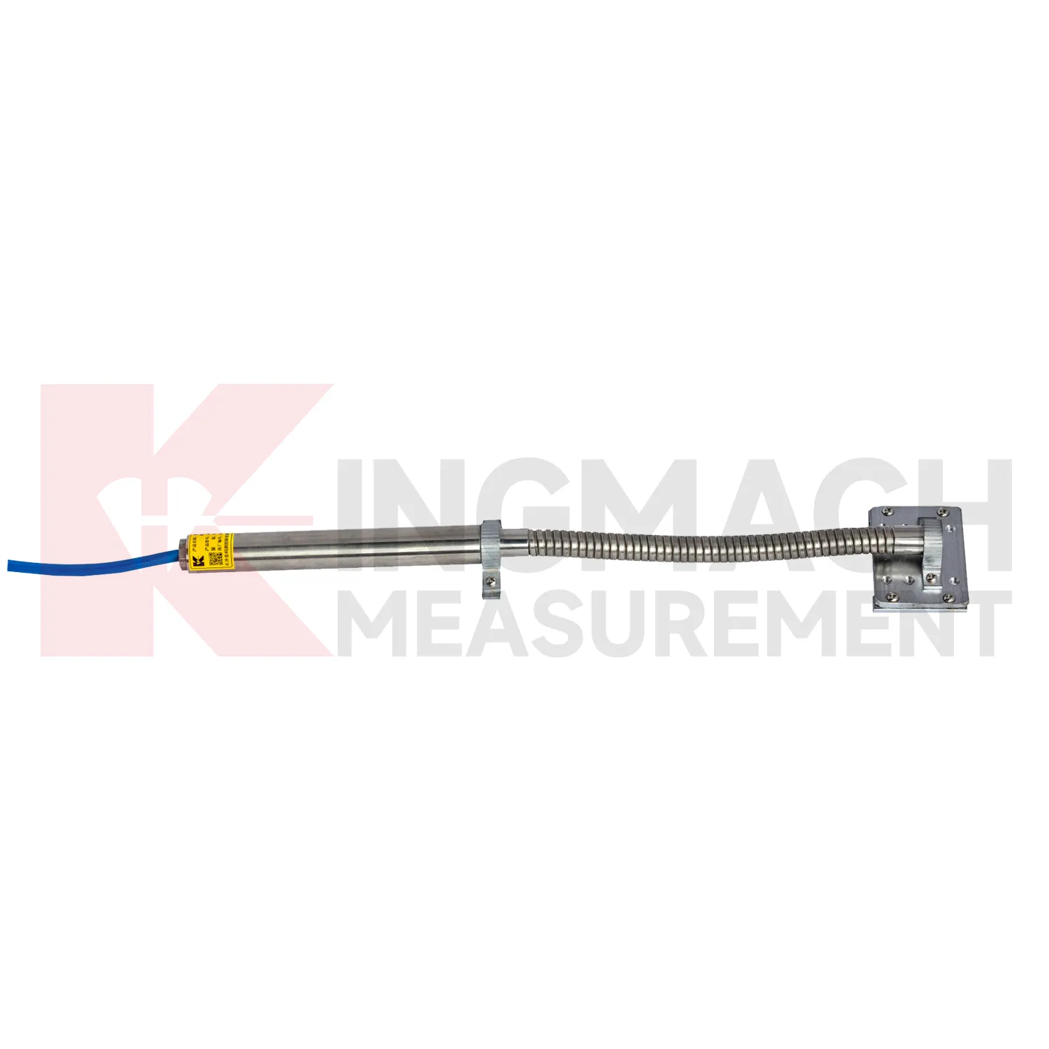
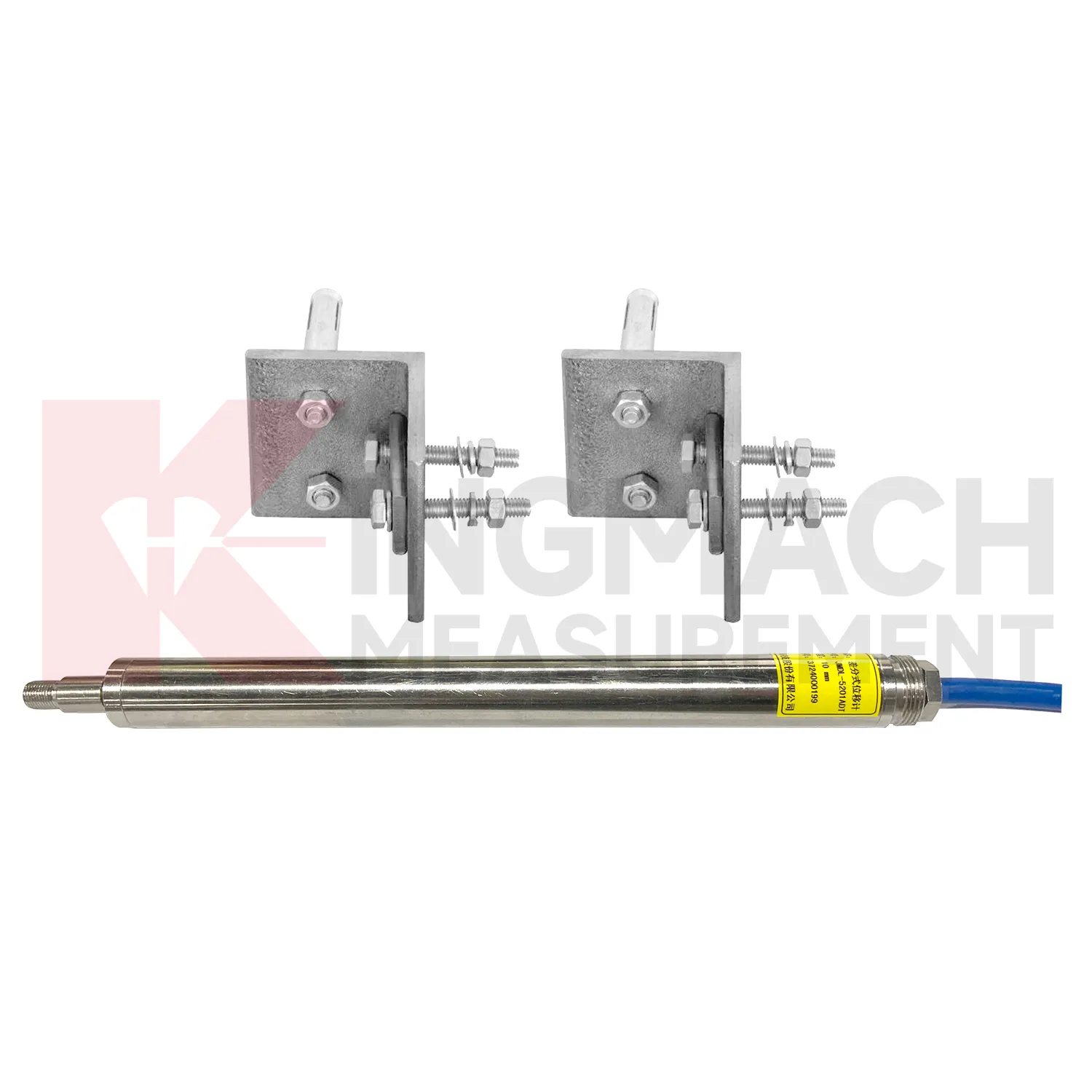
In railway and highway subgrade monitoring, Integrated GNSS are used to observe geogrid deformation, embankment movement, track foundation displacement, culvert joint movement, and settlement-related structural shifts. The field problem is that deformation may occur inside reinforced soil or pile-net foundations where visual inspection cannot reach after backfilling. Kingmach JMDL-24XXAT flexible displacement meters are designed for geogrid materials in reinforced soil and pile-net subgrade foundations. The bendable measuring rod can deform with the geogrid, while both ends are clamped using mounting brackets. Listed ranges are 30 mm and 50 mm, with 0.01 mm sensitivity, 0.5%FS accuracy, 20-point curve fitting, and a designed service life up to 30 years. For larger movement, JMLS-22XXADT wire rope sensors and JMDL-49XXAT formwork or steel wire meters can support long-distance displacement monitoring. These readings help maintenance teams connect settlement, traffic load, rainfall, and construction records. During operation, the monitoring team should keep the baseline, temperature, inspection notes, and nearby sensor behavior in the same review file. This makes it easier to tell whether a movement trend comes from normal service, a repair event, changing load, water influence, or developing structural risk. Clear records also help owners decide when a field inspection is needed instead of waiting for visible damage.
The future of Integrated GNSS
Future Integrated GNSS will likely place more intelligence at the edge of the monitoring network. Instead of sending every reading to a platform without review, acquisition units can check whether a displacement jump is physically plausible, whether the temperature moved at the same time, and whether nearby channels changed in the same direction. Kingmach smart products already store measurement time, temperature for temperature versions, absolute displacement, relative displacement, and zero-point values on selected models. That local record can support early filtering and field diagnosis. For remote slopes, dams, subgrades, and tunnel portals, this matters because network access may be unstable and maintenance visits may be expensive. Edge checks can flag cable damage, zero drift, sudden water ingress, or installation movement before the data is accepted as structural deformation. The strongest systems will still depend on careful installation, because digital tools cannot correct a loose bracket, wrong range, or poorly recorded baseline. Clear reporting will make displacement monitoring more useful for non-specialist decision makers while preserving the detail engineers need.
Care & Maintenance of Integrated GNSS
For draw-wire Integrated GNSS, the cable path is the part that most often decides data quality. Kingmach JMLS-22XXADT wire rope sensors use a plastic-coated stainless steel cable, spool, precision rotary sensor, RS485 communication, IP67 sealing, and ranges up to 2000 mm. During installation, align the cable with the expected movement direction, keep the pull smooth, and avoid rubbing against concrete edges, steel corners, temporary supports, or moving machinery. Do not overextend the cable beyond its range, and do not let it snap back during inspection. Check the anchor point, cable coating, spool movement, connector sealing, and lightning protection after storms or heavy site work. For long-term dam, tunnel, slope, or machinery monitoring, include cable tension and cable path photos in routine maintenance records. A clean cable route gives more reliable displacement data than any later software correction. Keep the installation photo, point number, zero value, and expected movement direction with the commissioning record for later review. If a reading changes after maintenance work, inspect the base, anchor, cable, and cabinet before assuming the structure itself has moved.
Kingmach Integrated GNSS
Integrated GNSS support safer engineering decisions when the reading is tied to a clear location, a known baseline, and a repeatable acquisition method. Kingmach products list practical field details such as 0.01 mm resolution on several JMDL models, 0.5%FS accuracy on general-purpose, crack, flexible, and formwork models, plus 0.1%FS accuracy on the differential JMDL-52XXADT series. Protection ratings such as IP67 and IP68 help when instruments are exposed to dust, water, concrete work, or outdoor cabinets. RS485 output on digital models allows remote data transfer, while memory functions keep calibration and measurement data close to the sensor. In bridges, buildings, hydropower works, tunnels, railways, slopes, and foundation pits, those details reduce the gap between a specification sheet and actual monitoring work. The better the field record, the faster abnormal movement can be checked. The point should be named on the drawing, linked with its cable route, and checked against the expected movement direction before the first automatic reading is accepted. For daily review, the reading should be compared with nearby points, recent weather, site operations, and any loading event that could explain the movement.
FAQ
Q: Which Integrated GNSS handle long travel?
A: JMLS-22XXADT wire rope sensors cover 0 to 500 mm, 0 to 1000 mm, and 0 to 2000 mm ranges, while JMCW-21XXADT magnetostrictive meters cover 0 to 1000 mm absolute position measurement.
Q: What is the difference between wire rope and magnetostrictive types?
A: Wire rope sensors convert cable extension or retraction into displacement data, while magnetostrictive meters use non-contact sensing for absolute linear position.
Q: What protection ratings are listed?
A: Product information lists IP67 for the JMLS-22XXADT wire rope sensor and IP67 for the JMCW-21XXADT magnetostrictive meter.
Q: What communication is available?
A: Both products list RS485 communication, which supports digital connection to acquisition systems.
Q: Where are long-travel models used?
A: They are used in dam monitoring, geohazard prevention, machinery position, hydraulic cylinders, gate movement, tunnel clearances, and structural displacement between two points.
Reviews
David Wilson
We purchased displacement transducers and settlement sensors, and the quality exceeded our expectations. Easy installation and reliable performance.
Andrew Lee
The visualization software is intuitive and powerful. It helps us analyze monitoring data efficiently.
Latest Inquiries
To protect the privacy of our buyers, only public service email domains like Gmail, Yahoo, and MSN will be displayed. Additionally, only a limited portion of the inquiry content will be shown.
Amelia***@gmail.comSingapore
Hello, I am looking for visualization software for monitoring system data analysis. Please let me kn...
Emma***@gmail.comCanada
Dear Sir/Madam, we are interested in displacement transducers and settlement sensors for a geotechni...
Related product categories
- displacement sensor
- laser displacement sensor
- displacement sensors
- linear displacement sensor
- optical displacement sensor
- wireless displacement sensor
- laser displacement sensors
- non contact displacement sensor
- cable displacement sensor
- draw wire displacement sensor
- inductive displacement sensor
- lvdt displacement sensor