
 EN
EN
 ar
ar bg
bg hr
hr cs
cs da
da nl
nl fi
fi fr
fr de
de el
el hi
hi it
it ko
ko no
no pl
pl pt
pt ro
ro ru
ru es
es sv
sv tl
tl iw
iw id
id lv
lv lt
lt sr
sr sk
sk sl
sl uk
uk vi
vi et
et hu
hu th
th tr
tr fa
fa ms
ms hy
hy ka
ka ur
ur bn
bn mn
mn ta
ta kk
kk uz
uz ku
ku
tiltmeter
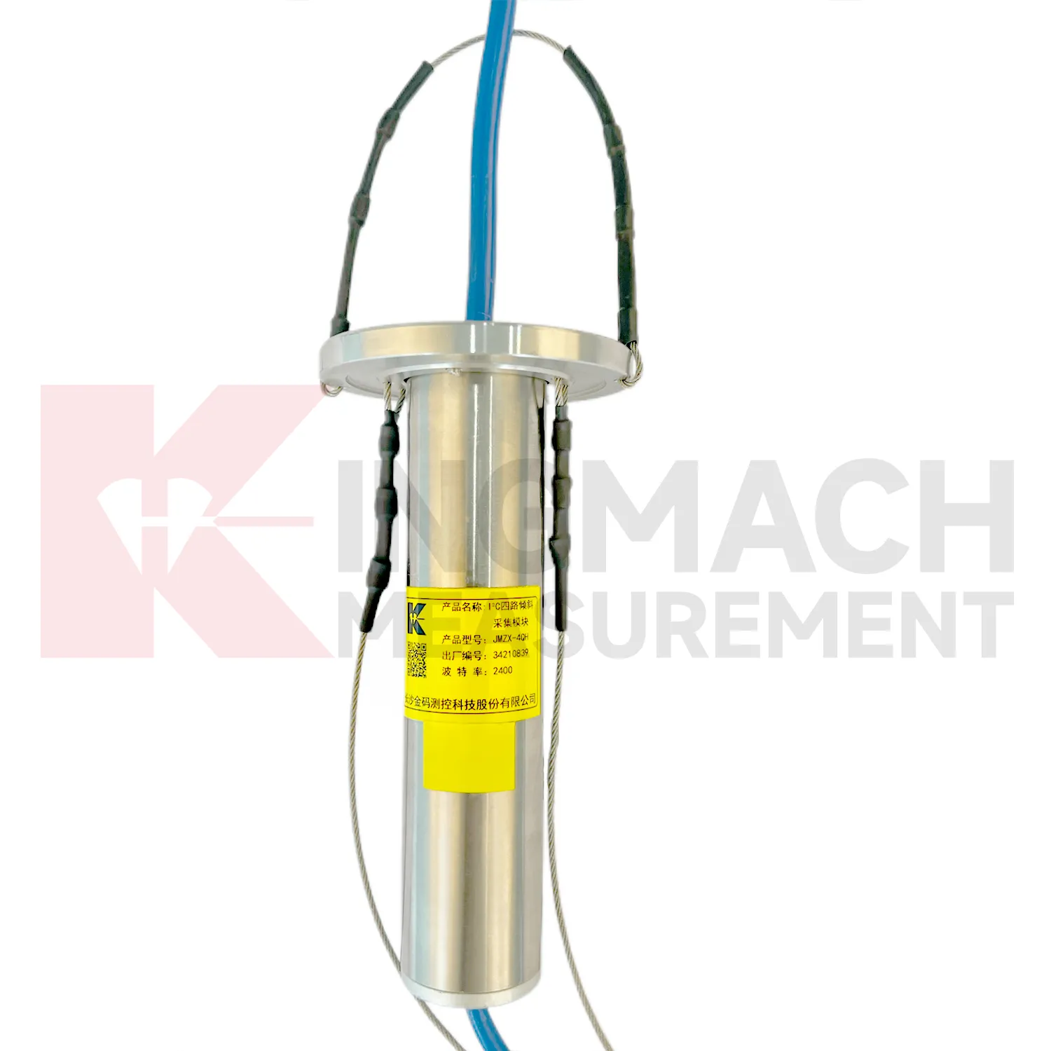
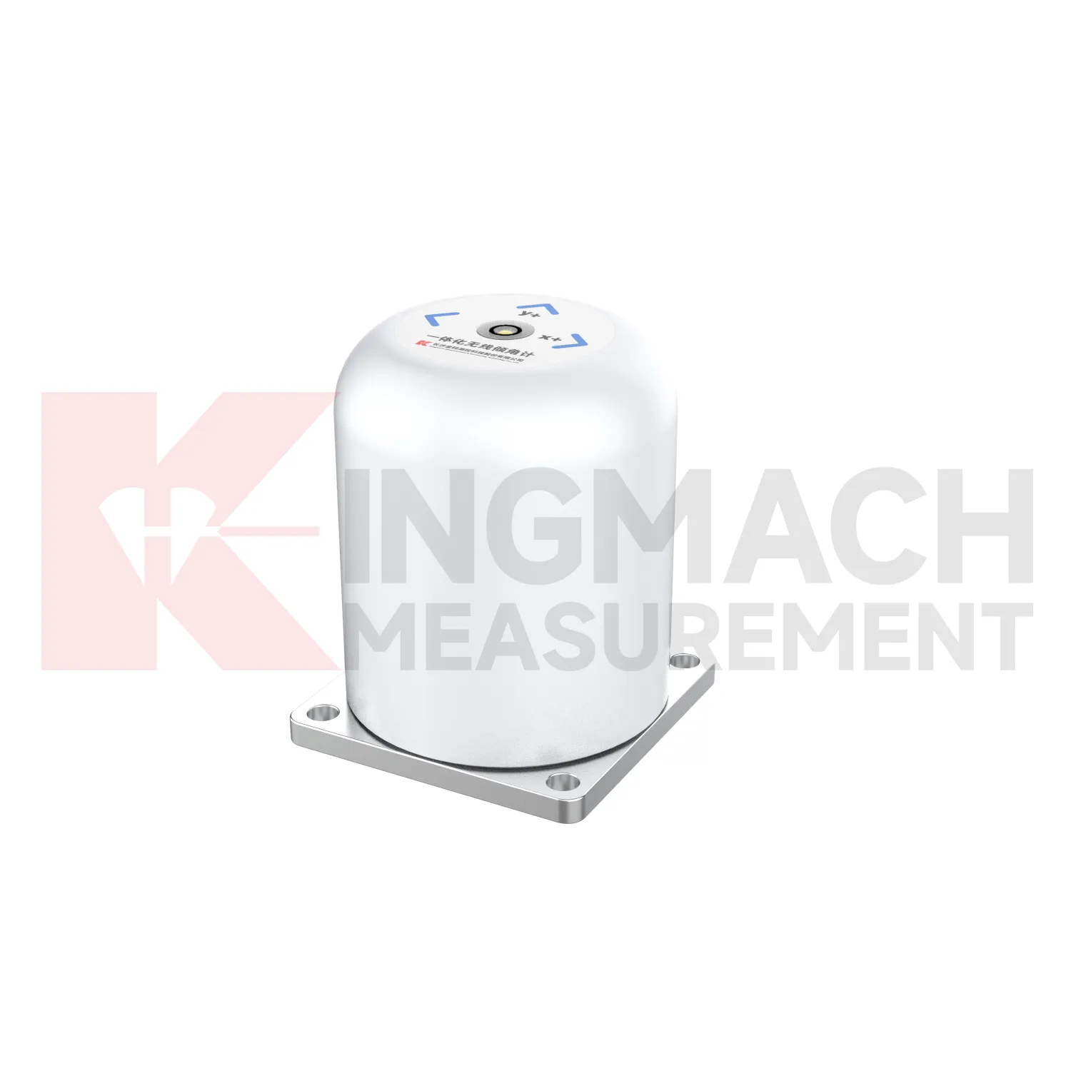
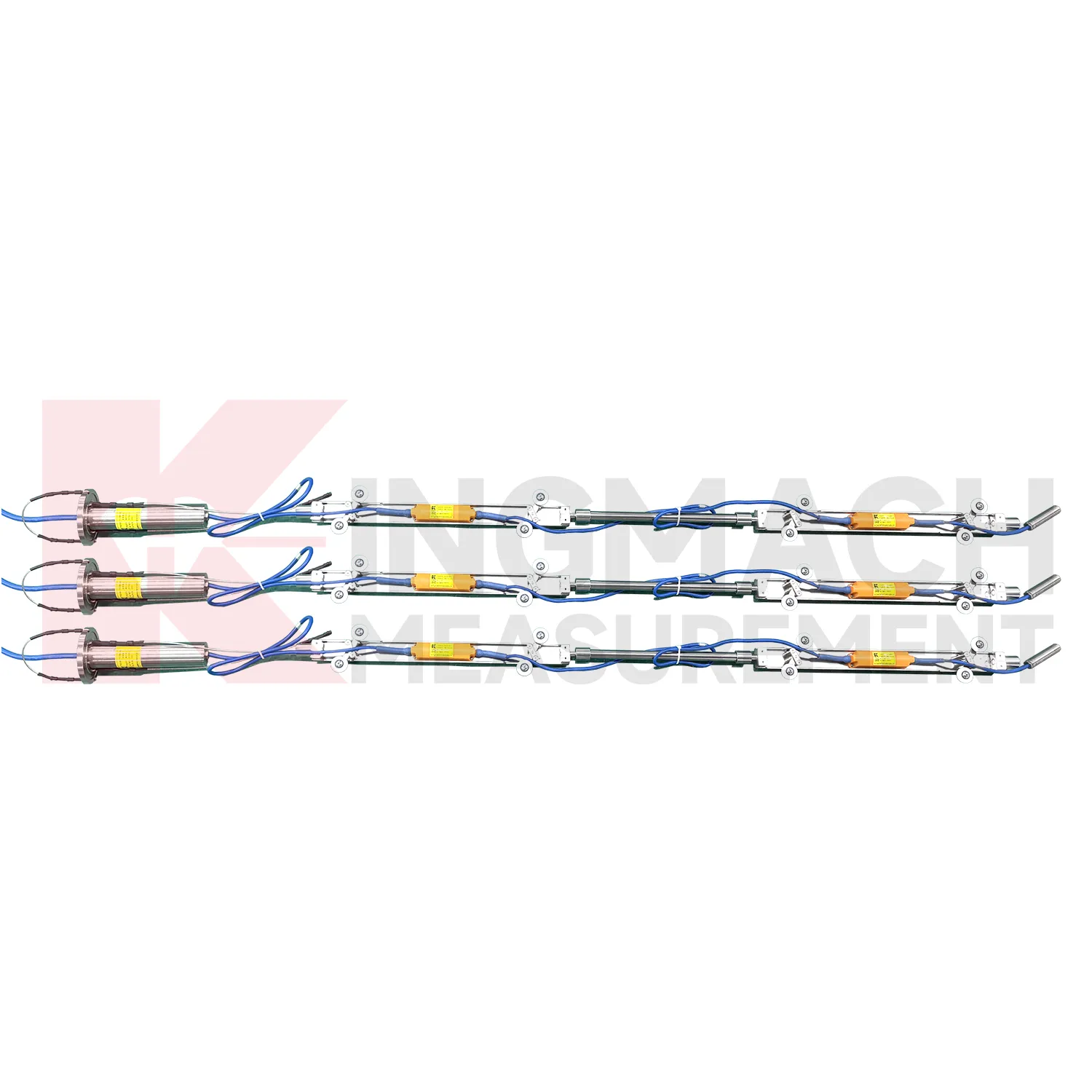
Kingmach tiltmeter for category-level tilt monitoring are designed for bridges, tunnels, slopes, buildings, foundation pits, railways, dams, embankments, underground works, and geological hazard areas. The category includes fixed tilt sensors, integrated wireless tilt units, vertical in-place inclinometer strings, sliding inclinometer instruments, and acquisition modules. Product pages describe high-sensitivity sensing elements, real-time monitoring, strong anti-interference ability, easy installation, and adaptability to harsh environments. The practical role of the category is to observe angular change, deep internal deformation, and horizontal displacement patterns that may not be visible through ordinary survey methods. A complete tilt monitoring plan should define measuring axis, range, mounting surface, borehole depth, communication method, power supply, baseline date, and related instruments. That level of detail helps engineers interpret small angular changes without losing the connection to the structure or ground body being monitored.
Application of tiltmeter
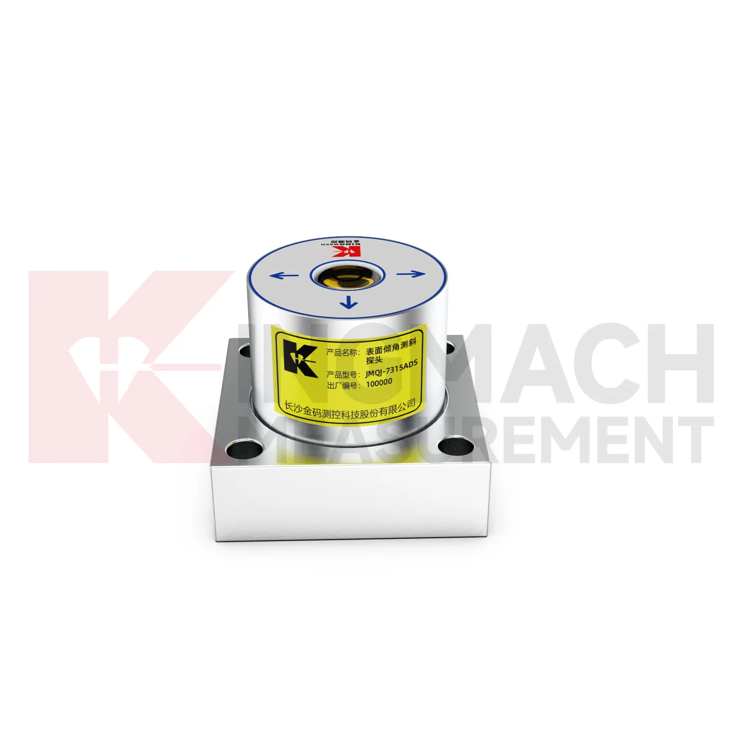
Tunnel projects use tiltmeter to observe lining deformation, invert response, station box movement, shaft walls, and surrounding ground behavior. Fixed tiltmeters can be installed on structural surfaces, while in-place inclinometer systems can measure internal movement near excavation zones or adjacent slopes. JMQJ-7315ADS has IP68 protection and RS485 output, making it suitable for wet underground environments when the cable route and cabinet are protected. JMQJ-7315RTU may be useful where wireless transmission is practical. Data review should include excavation stage, support closure, groundwater, vibration, train operation, displacement readings, and crack records. The installation file should show chainage, ring number, side, axis direction, and photographs because many tunnel points look similar after construction finishes.
The future of tiltmeter
Future tiltmeter will be specified with clearer compatibility requirements. A sensor by itself is only part of the system; the acquisition module, power supply, communication route, cable, platform, enclosure, and report format all affect performance. Kingmach product pages already list compatible data recorders and related instruments, which helps project teams build a connected monitoring package. Future specifications should state data output, channel capacity, baud rate, wireless method, battery expectation, protection grade, operating temperature, installation accessories, and software export needs. Clear compatibility reduces site delays and makes maintenance easier when parts are replaced. For owners, it also keeps the tilt monitoring record from becoming tied to one undocumented setup.
Care & Maintenance of tiltmeter
Data review is part of maintaining tiltmeter. A curve should be checked for rate, direction, sudden jumps, missing values, repeated flatlines, and disagreement with nearby instruments. Compare tilt with settlement, displacement, strain, load, pore pressure, rainfall, vibration, and water level when available. For automated systems, verify channel names, units, time stamps, and alarm thresholds after platform changes. For manual readings, keep raw field notes and processed graphs together. If an alarm appears, inspect the mounting point, communication path, recent site work, and related instrument behavior. A good maintenance process treats data quality and field condition as one record, not two separate tasks.
Kingmach tiltmeter
Kingmach tiltmeter are also part of a larger structural health monitoring ecosystem. Tilt data becomes stronger when it is reviewed with displacement transducers, settlement sensors, strain gauges, load cells, accelerometers, water level sensors, environmental instruments, readouts, cables, and visualization software. For example, a slope warning may combine deep inclinometer movement, rainfall, pore pressure, and surface crack readings. A bridge review may combine tilt, deflection, strain, temperature, and traffic loading. A building review may combine column tilt, foundation settlement, cracks, and nearby excavation records. Kingmach product categories cover many of these instrument layers, so the tilt point can be specified as part of a complete monitoring plan. That reduces gaps between measurement, acquisition, reporting, and site response.
FAQ
Q: How accurate is the JMQJ-7315ADS tiltmeter?
A: The product page lists 0.001 degree resolution and 0.01 degree accuracy for the +/-15 degree dual-axis model.Q: What protection grade does JMQJ-7315ADS have?
A: It is listed with IP68 waterproof protection and an operating environment from -30 degrees Celsius to +80 degrees Celsius.Q: What range does JMQJ-7315RTU provide?
A: The integrated wireless model lists +/-30 degree and +/-15 degree dual-axis range options, with 0.001 resolution.Q: How many sensors can JMZX-4QH support?
A: The module lists four channels and support for up to 100 sensors in a multi-point inclinometer system.Q: What is the guide wheel spacing for JMZX-7100L?
A: The sliding inclinometer page lists a 500 mm guide wheel spacing reference and a +/-90 degree sensor range.
Reviews
Christopher Martinez
Very satisfied with the readouts & data loggers. User-friendly interface and supports multiple sensor inputs.
James Thompson
The tiltmeters and accelerometers are very sensitive and provide precise data. Perfect for our structural health monitoring system.
Latest Inquiries
To protect the privacy of our buyers, only public service email domains like Gmail, Yahoo, and MSN will be displayed. Additionally, only a limited portion of the inquiry content will be shown.
Charlotte***@gmail.comUnited Arab Emirates
Hi, we require instrumentation cables suitable for harsh environments. Could you advise on specifica...
Emma***@gmail.comCanada
Dear Sir/Madam, we are interested in displacement transducers and settlement sensors for a geotechni...